The Connecticut Beaver Site Mapping Project uses remote sensing to tell this species’ unique story
Over 100 years ago, beavers became extinct in Connecticut due to overharvesting by an unregulated fur trade. They were reintroduced to the state beginning in 1914. Since then, their population has steadily grown. Now beavers can be found in all corners of the state and living somewhere near 5,800 miles of its waterways.
But not much is known about exactly where these beavers reside, where they have historically been rebounding, and how their presence impacts areas around the state.
Evan Zocco ‘22, ‘24, a graduate student and research assistant in the Department of Natural Resources and the Environment, taking a cue from the industrious creatures he studies, is working to change that.
“Beavers have the ability to significantly alter their environment, which can lead to swift ecological changes,” Zocco says. “Given that they continuously repair and construct new structures, changes in their habitats are significant from year to year.”
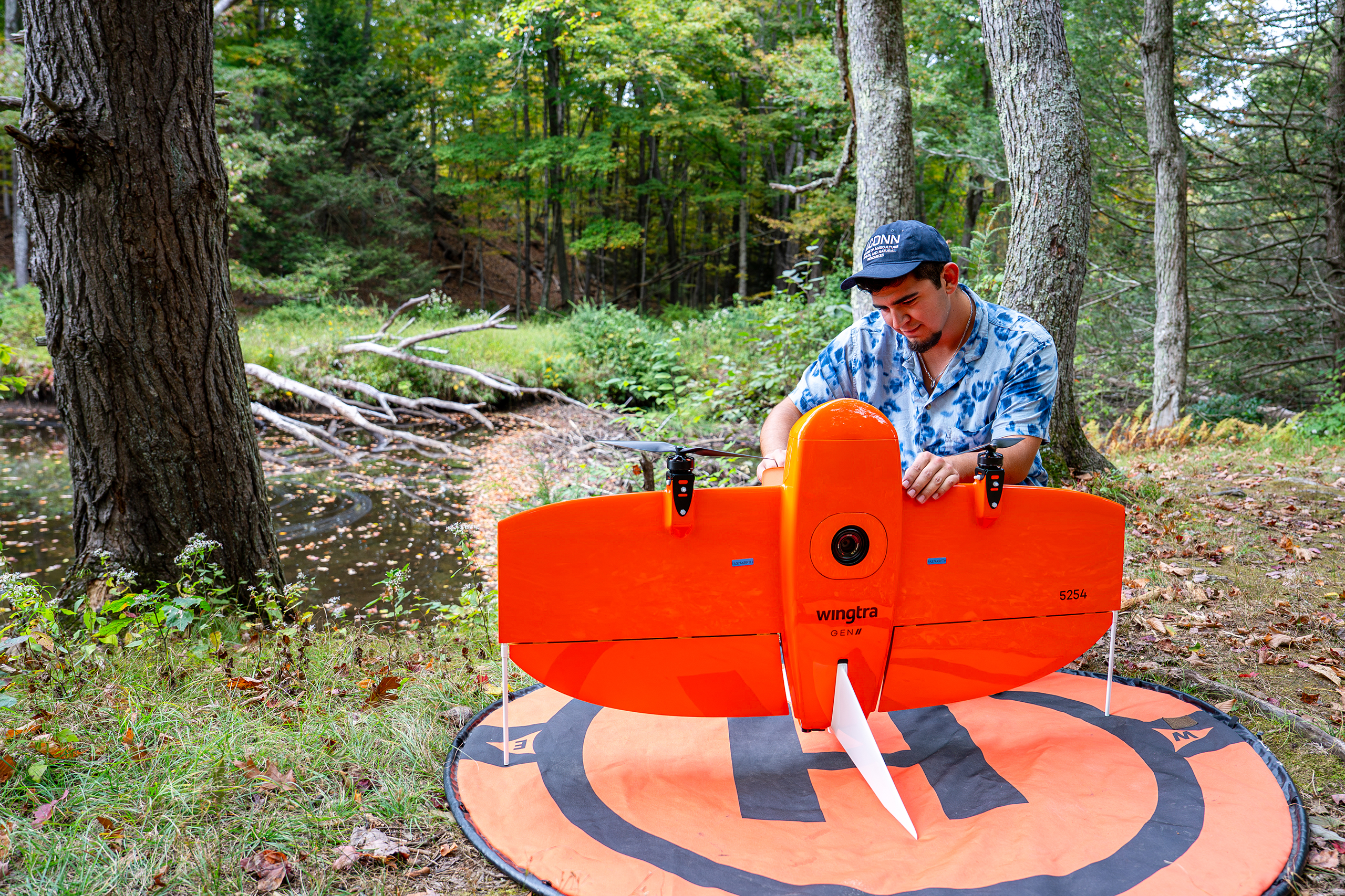
By mapping beaver colonies with remote sensing technologies, including drones and satellite imagery, combined with historical data and machine learning to identify patterns and changes over time, Zocco has created a public resource on beavers through the Connecticut Beaver Site Mapping Project.
Zocco says his research is providing property owners and land managers with a reliable resource to determine management strategies to preserve specific areas or to raise awareness about what ecosystem changes the presence of a beaver colony may produce. This research also makes it possible to more reliably predict future disturbances along with their potential magnitude by incorporating historical data.
“Beaver activity has this dual nature, so careful management and monitoring is critical to balance their ecological benefits with potential harms.”